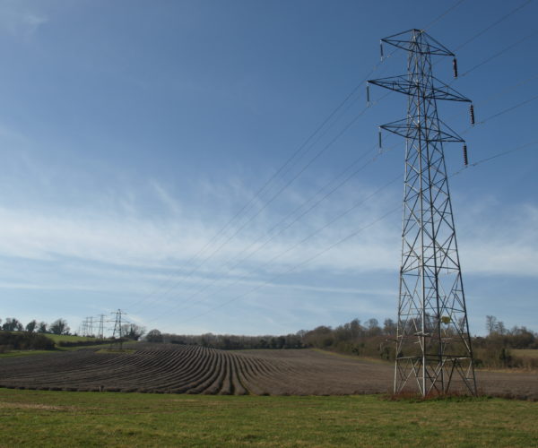
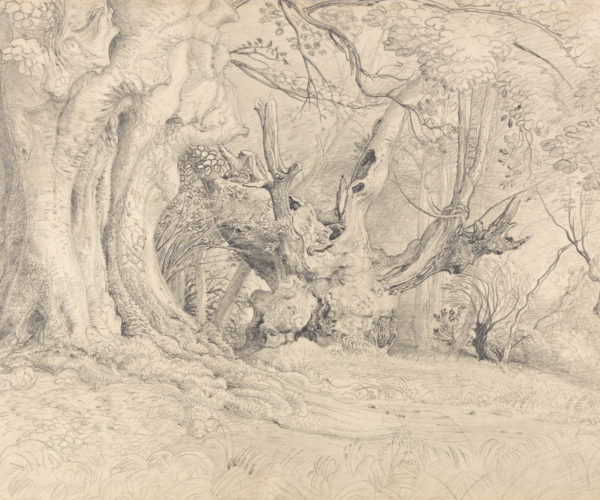
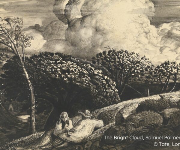
Our innovative Finding the Earthly Paradise project sets out to map the sense of ‘tranquillity’ across the Darent Valley, as experienced by local communities.
By engaging and consulting with local communities, we will gather information on which locations people find to be tranquil – and not so tranquil.
This information will then be used to create a Geographical Information System (GIS) which maps places of tranquillity and non-tranquillity across the Darent Valley.
We will then use this map as a way to monitor tranquillity over the coming years. The goal is for it to be used as a benchmarking tool and indicator for planning and management decisions in the Darent Valley.
- Geographical Information System (GIS)
- Mapping ‘tranquillity’ across the Darent Valley
- A tool for future planning and management decisions
For more information on our Finding the Earthly Paradise GIS project, including community consultations and timeframes, please contact darent.valley@kentdowns.org.uk