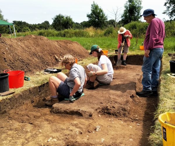
This project brings together a team of volunteers who will investigate the heritage of the Darent Valley landscape using LiDAR technology.
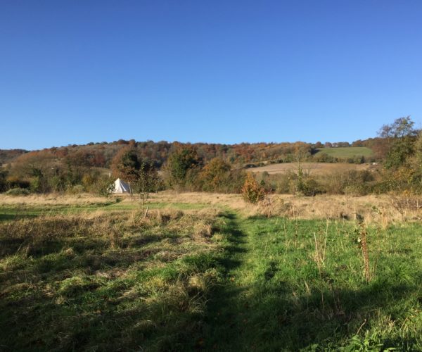
The Darent Valley is a complex and intricate landscape. For some time it has been an aspiration of local groups to have detailed data to be able to interrogate and explore it. This commissioned LiDAR (Light Detection and Ranging) survey will gather information to support a better understanding of the landscape and its layers of history.
The team will undergo field work training before exploring the landscape – looking for features and recording them through an online portal.
The information gathered will form an important dataset which will supplement the Historic Environment Record and enhance our knowledge of the valley.
- Light Detection and Ranging survey (LiDAR)
- Investigating heritage sites across the Darent Valley
- Building a dataset and enhancing our knowledge
For more information about the Darent Valley LiDAR survey including volunteering, please contact darent.valley@kentdowns.org.uk